Habitat
The morphology and natural hydrology of rivers can be strongly modified by the presence of hydroelectric power plants, especially those that operate by hydropeaking (sudden releases of water to produce energy during peak periods). By coupling 1D and 2D hydraulic modeling with field surveys, we have shown that current methods of estimating fish habitat downstream of these structures may present some uncertainties, and therefore sometimes erroneous interpretations. Indeed, during the calibration phase of the hydraulic models, the use of a fixed value of friction coefficients is not always valid, because this one varies according to the ratio between the water height and the dominant granulometry, parameter which can evolve quickly during hydropeaking. It was found that 1D models could be sufficient in areas with simple morphology, but that a description of the spatial variability of the roughness would allow, in certain situations, to model the fish habitat more accurately than at present.
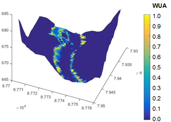
This modeling of the hydraulic habitat of fish and invertebrates as a function of discharge (expressed as local characteristics of water height, current velocity and substrate) is done through the coupling of hydraulic models and preference curves of different species towards these parameters. In view of the diversity of existing modeling tools on an international scale and the obsolescence of the main tool used in France (the EvHa software), we decided, in partnership with EDF and INRAE, to create a new generation of tools to characterise the evolution of the quality of the hydraulic habitat of rivers, in particular within the framework of studies comparing water resource management scenarios. A software platform, called HABBY, has been developed. It allows to couple the different inputs of the most used hydraulic models and the available biological preference curves, in order to produce models of the evolution of aquatic habitats according to the flows. A beta version of HABBY is currently being tested; the final version should be released in 2020 and integrated into national training courses concerned with this subject.