Analysis and assimilation of earth observation data
Different mathematical tools, implemented for the numerical modeling of flash floods, have made it possible to identify the essential processes to represent for the genesis of flash floods. The rainfall-runoff model MARINE developed at the IMFT is surrounded by a complete device, intended not only to facilitate its implementation on a new study site but also to analyze the water paths simulated by the model in order to be able to corroborate them with the available observations.
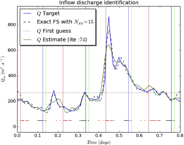
These same methods are also applied to river hydraulics modelling based on 1D or 2D Saint-Venant equations. Within the framework of several CNES-TOSCA projects (Centre National d’Études Spatiales – Terre solide, Océan, Surfaces Continentales, Atmosphère, 2012-2018), sensitivity analyses and data assimilation are implemented in hydrodynamic models, in order to carry out flow estimates on large rivers from remote sensing measurements. One of the main objectives of the future Surface Water and Ocean Topography (SWOT) mission (jointly developed by NASA and CNES with contributions from the Canadian Space Agency (CSA) and United Kingdom Space Agency) is to estimate river flow from Ka-band Radar Interferometer (KaRIn) measurements. SWOT will not directly measure discharge but will measure water levels, slopes and extent of inundated areas. To estimate the river discharge from these observations, it is necessary to have additional data such as bathymetry of the river, friction coefficients and numerical and/or analytical models. The main objective of the studies conducted is to quantify the potential contribution of SWOT data to calculate river discharge on a global scale (Brisset et al., Advances in Water Resources, 2018).


